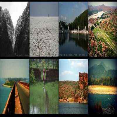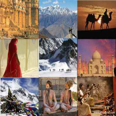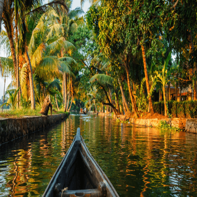
Coldest Place in India - Drass, Ladakh
Drass, located in western Ladakh is the coldest inhabited place in India and also ranked 2nd coldest inhabited place of India after Siberia. The place is located at the altitude of 3230 m in the Kargil district of Jammu and Kashmir.


The climatic conditions found here are extremely harsh with the winter temperature as low as - 22oC to -45oC with strong snow storms while summer temperature is near 15oC.
Highest Rainfall in India - Mawsynram, Meghalaya
Mawsynram is the wettest place on Earth, with an annual rainfall of 11,872 millimetres (467.4 in).According to the Guinness Book of World Records Mawsynram received 26,000 millimetres (1,000 in) of rainfall in 1985.Largest Glacier in India - Siachen Glacier, Himalaya Mountains
Siachen Glacier is the largest glacier in India with the length of 75.6 km and width of 2.8 km, it is the longest glacier in the Karakoram and second-longest in the world's non-polar areas.The Siachen Glacier is located in the eastern Karakoram Range in the Himalaya Mountains along the disputed India-Pakistan border.
Largest waterfalls in India - Vajrai Waterfall, Maharashtra
Vajrai waterfall is one of the tallest waterfall in India which heights around 1,840 feet (560M). The place is full of natural beauty and has a pleasant climate. To experience this one needs to visit Vajrai Waterfall in the rainy season.Longest River in India - Ganga
Ganga is the longest river of India which flows east through the Gangetic Plain of northern India and Bangladesh. Three cities of India namely Haridwar, Allahabad, and Varanasi attract large number of pilgrims for the holy dip in the river Ganga, as it is considered a sacred river to the Hindu's.2,510 km long Ganga River rises in the western Himalayas in the Uttarakhand state of India, and drains into the Sunderbans delta in the Bay of Bengal.
Tallest Mountain in India - Kangchenjunga
Kangchenjunga is the tallest mountain peak of India and also ranked as the third highest mountain in the world (after Mount Everest and K2). The height of Kangchenjunga is 8,586 metres.There are total 5 peaks out of which three lies on border of India and Nepal, while the other two are completely in Nepal. There is also the Kangchenjunga National Park, the protected area on the Indian Side.

State with the highest population in India - Uttar Pradesh
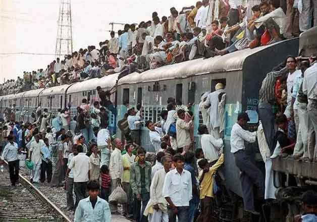
Uttar Pradesh is the most densely populated state of India with a population of over 190 million people as per 2008 census. Uttar Pradesh is also ranked as the state with maximum number of districts and highest population in India.It has a total of 70 districts, with the 5th position in its area and size. Kanpur is the largest city of Uttar Pradesh.
Largest State in India - Rajasthan
Rajasthan is the largest state of India, stretched to an area of 342,239 sq km in western part of India. The state of Rajasthan is blend of two distinct geographical regions with desert in the west and thick forest in the East, separated by geographical separation of Aravallis, the oldest mountain chain. The pink city, Jaipur is the capital of Rajasthan.Smallest State in India - Goa
Goa is the smallest state in India with an area of 3702 sq. km, located on the Western Ghats range. Goa is one of the major tourist attractions in India, visited by international and domestic tourists in large number.Goa is popular for its beaches, world heritage architecture and churches. It is also the treasure of rich flora and fauna and declared biodiversity hotspot. Panaji is the capital of Goa and Vasco is its largest town.

State with maximum districts in India - Uttar Pradesh
Uttar Pradesh is the state with maximum number of districts. There are total 70 districts present in Uttar Pradesh. The state is also ranked the highly populated state of India.Lucknow is the administrative and legislative capital of Uttar Pradesh while Kanpur is the financial and industrial capital of the state.
State with minimum districts in India - Goa
Goa is the state with the minimum number of districts. It has only two districts namely North Goa & South Goa. North Goa is stretched to an area of 1736 sq. Km while South Goa covers 1966 sq km.Panaji is the administrative headquarters of North Goa, which is also the capital of Goa. Margao is the administrative headquarters of the South Goa district of the Goa state.
Smallest district in India - Mahe
Mahe is the smallest district in India with an area of 9 sq. km. Mahe is geographically located in the state of Kerala, where as administratively it comes under the control of Union Territory of Pondicherry. Mahe has the official name of Mayyazhi in the local Malayalam language.Largest district in India - Kachchh
Kachchh also spelled as Kutch of Gujarat state is the largest District in India. The kutch district covers an area of 45,652 sq km is the largest District in India.The administrative headquarters of Kachchh is in Bhuj. The district's five main towns are Gandhidham, Bhuj, Anjaar, Mandavi and Mundra. There are 966 smaller villages in the area.
Smallest Union Territory of India - Lakshadweep
Lakshadweep is the smallest Union Territory in India with an area of 32 sq km. Lakshadweep group of islands lie in the Arabian Sea. There are 36 islands, few of the major one are Minicoy, Kalpeni, Androth, Kavaratti, Amini, Pitti, Kiltan, Kadmat etc.The administrative head quarter of Lakshadweep is at Kavaratti. The islands of Lakshadweep are renowned as the only coral reef islands in India and are the major tourist destination for water sports.
Largest Union Territory of India - Andaman & Nicobar Islands
Andaman & Nicobar Islands with an area of 8,249 sq km is the largest union territory in India. The group of 572 islands is located in the Bay of Bengal. The entire chain of island consists of two distinct groups of islands.The Great Andaman group of islands in the north is separated by the Ten Degree Channel from the Nicobar group in the south. The Andaman group of islands is divided into three main groups North Andaman, Middle Andaman and South Andaman.
The Nicobar group of islands consists of 7 big and 12 small islands together with several tiny islands. The Great Nicobar is the largest of all the islands.
Largest Delta in India - Sundarban
Sundarban is the largest delta in India and come under the category of world’s largest delta formed by the rivers Ganges, Brahmaputra and Meghna. The Sunderban delta is stretched to an area of 4262 sq. km in India.They are vast tract of forest and saltwater swamp forming the lower part of the Ganges Delta, extending about 260 km along the Bay of Bengal from the Hooghly River Estuary in India to the Meghna River Estuary in Bangladesh.
The delta is spread over 54 islands and two countries, mainly marked by mangrove forests with the presence of Sundari trees in large number.
Largest Alluvial Plain of India - Indo-Gangetic-Brahmaputra Plain
Indo-Gangetic-Brahmaputra Plain also referred as the great plain of north India is the largest alluvial plain of the India and is also the world’s largest alluvial plain. This plain is stretched from the mouth of the Indus to the mouth of the Ganga with a length of 3200 km.In India, the plain covers an area of 2400 km. The average width of the plain varies from 150 to 300 km. The plain in the north is bounded by the foothills of the Shiwaliks but its southern boundary is a wavy irregular line along the northern edge of the Peninsular India.
Largest River Island in India - Majuli Island
Majuli Island in Assam is the largest River Island in India. Majuli is in the Brahmaputra River, and is about 200 kilometres east from Guwahati, the capital of Assam. Majuli was formed due to course changes by the river Brahmaputra and its tributaries, mainly the Lohit.The total area of the island was 1250 sq.km but due to erosion its present area is 557 sq km. The island has twenty-three villages with a population of 150,000 and a density of 300 persons per square km.
Largest Lake in India - Wular Lake
The Wular Lake is located in the in Bandipore district of Jammu and Kashmir. The lake was formed as a result of tectonic activity and is one of the largest freshwater lakes in Asia by surface area.Eastern most point of India - Kibithu, Arunachal Pradesh
The Kibithu is the easternmost point of India. It is a tiny village located at the heights of 11,000 feet in the Lohit district of Arunachal Pradesh bordering China's Tibet region.Western most point of India - Ghuar Mota, Gujarat
India’s western extreme point is Ghuar mota in Gujarat, located at 23.67 N Latitude and 68.52 E. Longitude. Ghuar Mota is in the western most point of the country and the well populated place with the population of 3038 in the Kutch district of Gujarat.Other cities located near Ghuar Mota are: Koteshwar, Mudia, Panadra, Pipar, Ber Mota, Ber, Lakhpat, and Lakhpal.
Southern most point of India - Indira Point, Nicobar Islands
The southern most point of India is Indira point, tip of the Great Nicobar Island. The Indira point is located at 6o 45' N Latitude, the place was previously called as Pygmalion Point but later renamed as Indira Point by late Prime Minister of the country, Rajiv Gandhi after his mother.Larger portion of the Indira Point was submerged into sea due to the tsunami generated by the 2004 Indian Ocean earthquake. Manty exotic sea animals are also found at this place.

Southern most point of Indian mainland - Cape Comorin, Kanyakumari
The southern most point of Indian mainland is Kanyakumari, also referred as Cape Comorin, is located in the state of Tamil Nadu. Kanyakumari is the confluence of the Arabian Sea, the Indian Ocean and the Bay of Bengal.The place is renowned for its spectacular sunrises and sunsets. Kanyakumari has been associated with great men such as Swami Vivekanada and Mahatma Gandhi.
Northern most point of India - Cape Comor Pass, Siachen Glacier
Siachen Glacier is the northernmost point of India under the control of Indian government, located in the State of Jammu & Kashmir.The issue of the Northern most point is still the disp[uted one as if the state of Jammu and Kashmir is considered totally in the Indian control then the northern most point will be Dafdar in the Taghdumbash Pamir near Beyik Pass in Kanjut.


